Contact
Address
Saint-Félix-de-l'Heras
Mairie
Place de Pons de l’Héras
34520 Saint-Félix-de-l'Héras
GPS coordinates : 43.8346640 / 3.3008904

Villages
Saint-Félix-de-l’Héras, an agricultural village listed as a UNESCO World Heritage site for agro-pastoralism, combines traditional livestock farming and tourism.
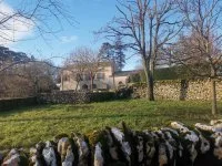
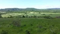
The municipality of Saint Félix de l’Héras, located at the gates of the Pas de l’Escalette at an altitude of 630 meters, is inscribed on the UNESCO natural heritage list for agro-pastoralism. The rural village includes 370 hectares of arable land and 900 hectares of pastures and woods. The population is increasing.
The economy is mainly agricultural, with the raising of sheep, cattle, and pigs. Farmers have been supplying milk for the production of Roquefort for decades and are also developing short supply chains for meat sales. The presence of a 3-star campsite enhances the village's attractiveness.
Saint-Félix-de-l'Heras
Mairie
Place de Pons de l’Héras
34520 Saint-Félix-de-l'Héras
GPS coordinates : 43.8346640 / 3.3008904


