Difficulty
Difficult
Distance
17,0 km
Duration
06h00
Height difference
263 m
Municipality of departure
LE CAYLAR
Municipality of arrival
LE CAYLAR
Address
GPS coordinates : 43.8594261 / 3.3187331
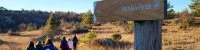
Pedestrian
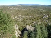
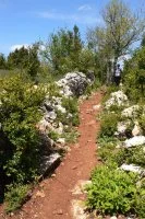
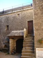
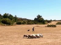
A long route from one village to another, which well reflects pastoral activity and lets you explore the ramparts of the Templar town of La Couvertoirade. > To get to the start of the route, set out to the right towards the village centre (carved tree). From the square, pass in front of the fountain.
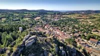
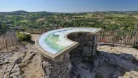
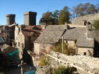



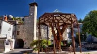
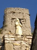
A long route from one village to another, which well reflects pastoral activity and lets you explore the ramparts of the Templar town of La Couvertoirade. > To get to the start of the route, set out to the right towards the village centre (carved tree). From the square, pass in front of the fountain.
Difficult
17,0 km
06h00
263 m
LE CAYLAR
LE CAYLAR
GPS coordinates : 43.8594261 / 3.3187331


