Difficulty
Medium
Distance
14,0 km
Duration
03h30
Height difference
267 m
Municipality of departure
SAINT-MAURICE-NAVACELLES
Municipality of arrival
SAINT-MAURICE-NAVACELLES
Address
GPS coordinates : 43.8457029 / 3.51939882
Pedestrian
This caussenarde hike offers unique views of the meandering Vis river and the cirque de Navacelles depression.
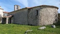
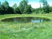
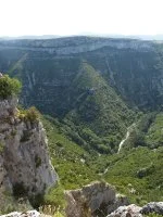
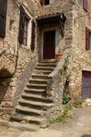
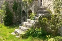
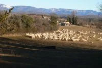
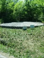
This caussenarde hike crosses a vegetation that has adapted to the harshness of the climate and opens unique viewpoints on the meanders of the Vis river and on the depression of the cirque of Navacelles.
Medium
14,0 km
03h30
267 m
SAINT-MAURICE-NAVACELLES
SAINT-MAURICE-NAVACELLES
GPS coordinates : 43.8457029 / 3.51939882


